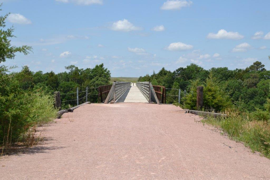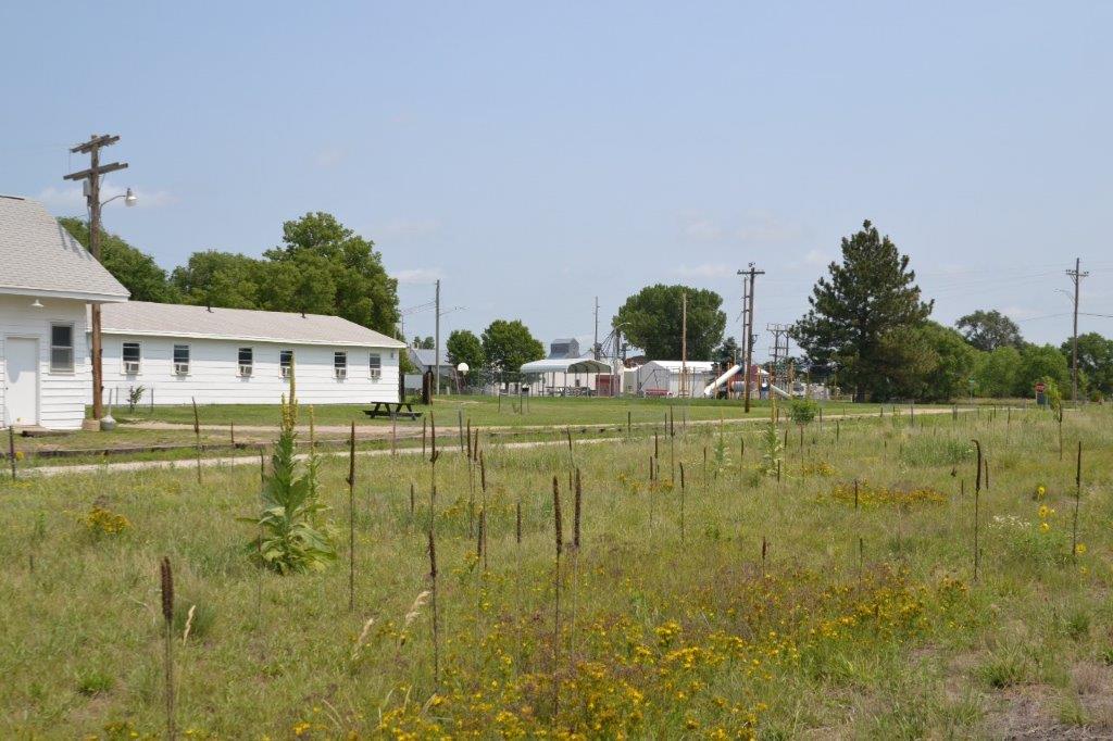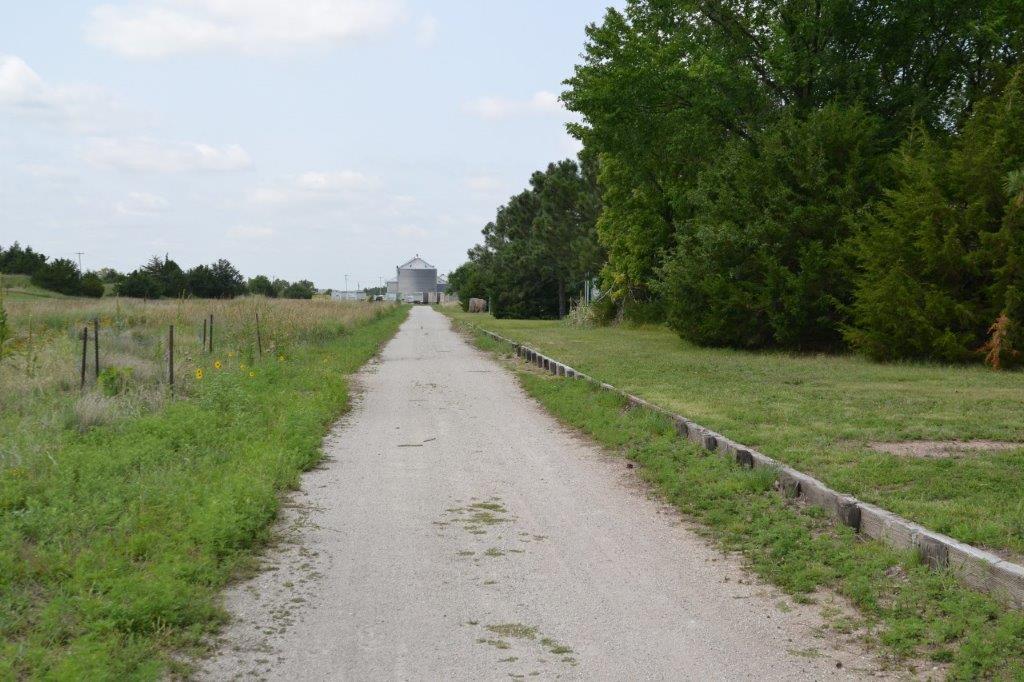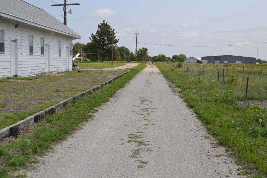
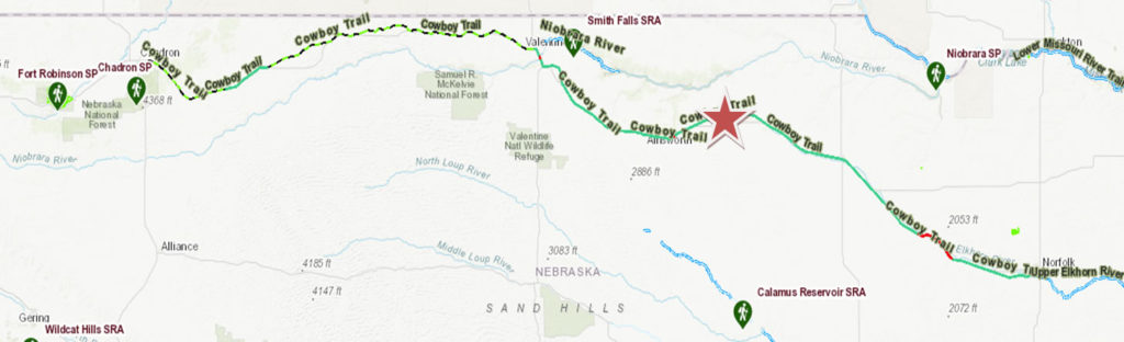
The Cowboy Trail currently runs 195 miles across northern Nebraska, following the old Chicago & Northwestern rail route from Norfolk in the east to Valentine in the west. The railroad called this the “Cowboy Line.” Eventually the trail could extend through Kilgore and on to Chadron, making it the world’s longest rail-trail.
Spanning a sizeable chunk of America’s outback, the Cowboy Trail experience is largely what one makes of it. It can be a pleasant escape for an evening nature walk, a family getaway for a bicycling weekend, a course for a grueling long-distance run or a convenient route to explore the Great American Plains on horseback.
Beginning in Norfolk and spanning 321 miles west to Chadron, this is one of the largest Rails-to-Trails project in the United States. The trail is developed between Norfolk and Valentine consisting of 187 miles of crushed limestone surfacing. The Long Pine area is 55 miles East of Valentine and 133.5 miles West of Norfolk. An additional 15 miles of trail has been developed between Gordon and Rushville as well, which is now open. Whether biking, hiking or horseback riding, the trail offers a few givens for all who travel it. Read on to learn about the nature, history and special features of Nebraska’s Cowboy Trail. http://outdoornebraska.gov/cowboytrail and/or https://bikecowboytrail.com